The Intelligence
Behind the Model
CARE uses cutting-edge research tools and partnerships to guide sustainable investment where it’s needed most—making every decision data-informed and impact-driven.
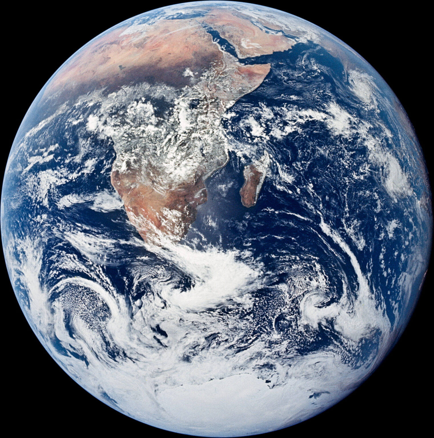
CARE’s Earth
Observation Technology
Satellite imagery provides a clear, scalable view of how ecosystems are changing over time. CARE uses this technology to map opportunity, monitor biodiversity, and identify early signals of stress or growth—allowing us to act smarter and faster, in partnership with local communities.
Looking to support climate-smart development? Our model starts with the big picture—literally.
Key Functions
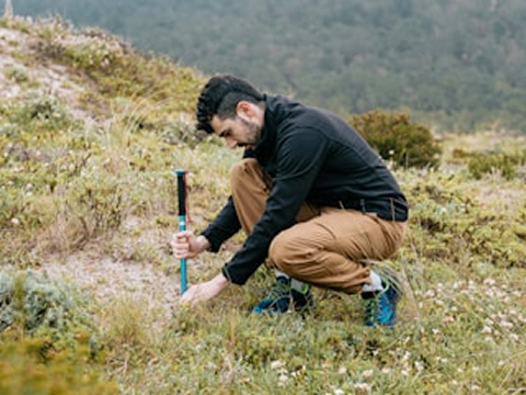
Site Selection
We use remote sensing to identify the most promising project locations based on biodiversity, land use, and environmental vulnerability.
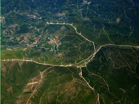
Impact Monitoring
Time Series Earth Observation data helps track habitat restoration and land recovery progress over time.
Decision Support
Our tools support faster, smarter planning across stakeholders—from local leaders to global funders.
Strategic Benefits
Precision & Scale
EO technology enables region-wide insights that complements local fieldwork—helping us zoom out and zoom in.
Transparency
Satellite data provides transparent, unbiased, verifiable insight into project outcomes for stakeholders and investors.
Speed & Adaptability
With real-time updates, we can adjust strategy as needed to meet environmental and community goals.
Scalability
EO data let us replicate success across continents—using the same technology to unlock new opportunities in new places.
Resources
Explore Our Thinking
We believe in sharing knowledge. Here are some curated resources and thought pieces that shape our work:
Mapping Nature’s Recovery

Farming the Future

Spekboom’s Secret

Crowded Classrooms
Smarter Land Stewardship
